

Details
Ramamangalam Grama Panchayat
An Agricultural Village Where Nature, Greenery and Tradition Come Together
Geography
Ramamangalam Grama Panchayat, located within the jurisdiction of Pampakuda Block Panchayat in Ernakulam District, is a rural region known for its natural beauty and agricultural richness. The Panchayat features a diverse landscape comprising plains, small hills, paddy fields and riverbanks. The scenic surroundings of the Muvattupuzha River add to the natural beauty of the region.
Ramamangalam at a Glance
23.40
Area in Square Kilometres
14
Wards
2
Revenue Villages
Ernakulam
District
Nature and Geographical Features
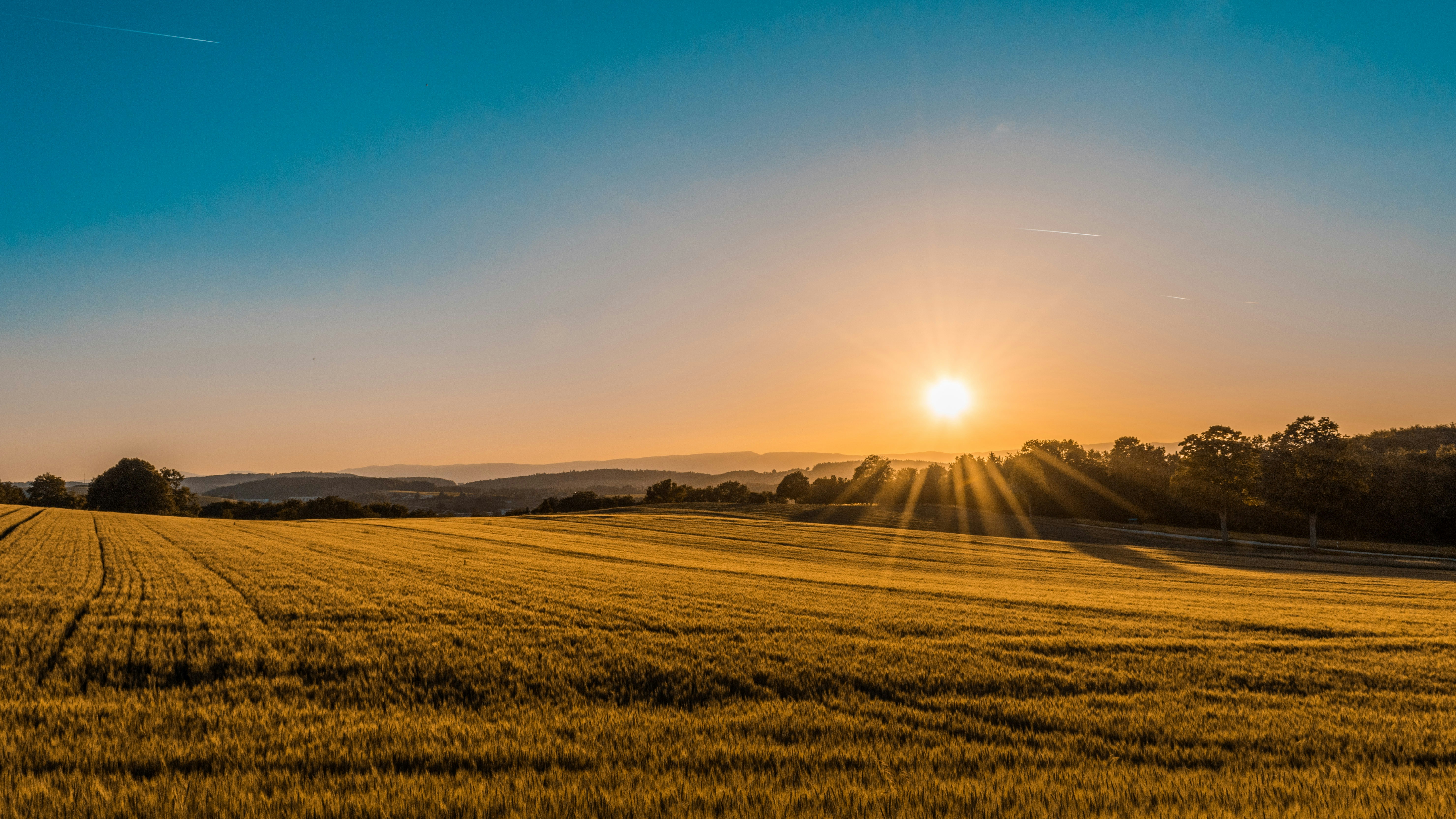
Agricultural Sector
Ramamangalam is a region where paddy cultivation and other agricultural activities play an important role. Its paddy fields and farmlands reflect the rich agricultural heritage of the village.

Hills and Greenery
Elevated areas, small hills and natural greenery add diversity to the geographical landscape of the Panchayat.
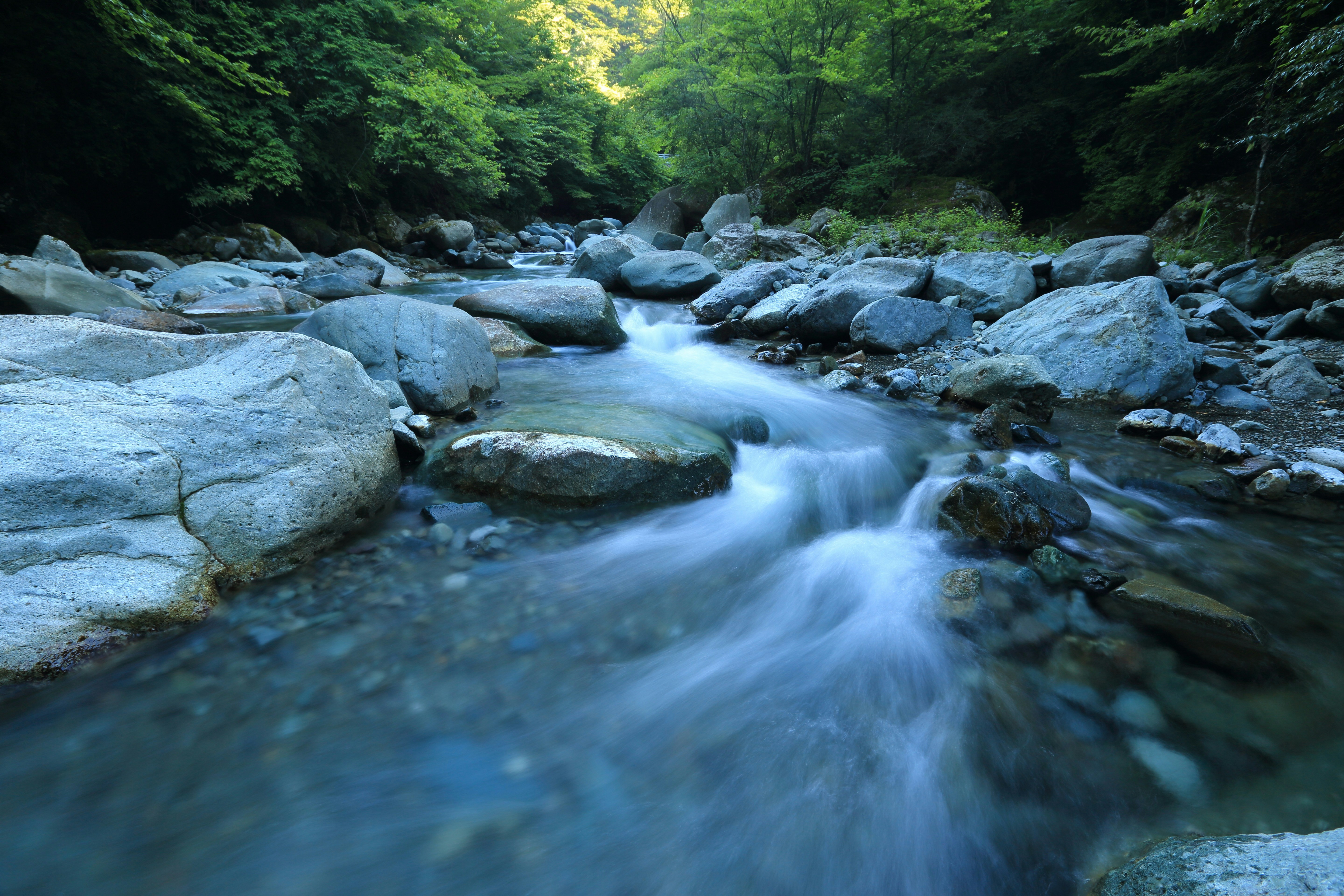
Muvattupuzha River
The Muvattupuzha River, which forms an important geographical feature along the boundaries of the Panchayat, contributes significantly to the region's water resources and natural beauty.

Climate
The region experiences a tropical climate typical of Kerala. The Southwest and Northeast monsoons influence the availability of water and the overall climatic conditions of the area.
Geographical Boundaries
The major geographical boundaries of Ramamangalam Grama Panchayat are:
- East: Pampakuda and Marady Grama Panchayats
- West: Muvattupuzha River
- South: Muvattupuzha River
- North: Muvattupuzha River


